Picking an island comes first when planning a Solomons trip, and this solomon islands islands list narrows the choice: six main islands, nine provinces and Honiara town, with Guadalcanal the largest island and home to the capital.
Quick answer: Base on Guadalcanal for the capital and wartime sea history, and look to Western Province for lagoons and channels. Malaita, Choiseul, Santa Isabel and Makira are the other large islands for travellers who want to go beyond the capital. Flights, entry and logistics are covered in the planning hub on how to get to solomon islands.
Where the islands sit and how many there are
The archipelago stretches in a 1,450 km (900 mi) chain southeast from Papua New Guinea across the Coral Sea to Vanuatu, according to the US State Department country profile. On a map, Papua New Guinea marks the northwest end of the chain and Vanuatu the southeast end. The country is not one block of land but a long run of islands, and travel between them is a planning task in its own right.
Published island counts differ. Solomon Islands in Focus says over 992 islands, EBSCO gives approximately 1,000, and WorldAtlas describes nearly 1,000 islands: six large main islands and over 900 smaller ones. About 1,000 is a safe working figure. For planning, the six large islands matter far more than the total.
The nine provinces at a glance
The country is divided into nine provinces plus Honiara town. The provinces are Central, Choiseul, Guadalcanal, Isabel, Makira and Ulawa, Malaita, Rennell and Bellona, Temotu, and Western. The table covers the seven provinces with the most useful detail for visitors.
| Province | What stands out | Planning use |
|---|---|---|
| Guadalcanal | Largest island; Honiara (66,000 people in 2007) sits on it; Mount Popomanaseu reaches 2,330 m (7,644 ft) | Base for the capital and wartime sea history |
| Malaita | Mainly the large island of Malaita, with a rugged interior and steep mountains | Allow for steep terrain inland |
| Western | New Georgia Islands, known for intricate channels and lagoons | Suits lagoon snorkelling and diving |
| Central | Florida and Russell Islands, both volcanic in origin | Suits travellers interested in volcanic island scenery |
| Choiseul | Main island; Mount Maetambe stands at 1,150 m (3,773 ft) | Suits travellers who want a large island away from the capital |
| Isabel | Santa Isabel is one of the main islands | Same appeal as Choiseul: rainforested mountain ranges |
| Makira and Ulawa | Makira is one of the main islands | Another large-island option with rainforested ranges |
Figures come from the US State Department profile and WorldAtlas.
Guadalcanal and Honiara
Guadalcanal is the largest island, and Honiara, the national capital, is on it. The State Department puts Honiara at 66,000 people in 2007. The island’s highest point, Mount Popomanaseu at 2,330 m (7,644 ft), is also the highest in the country, per WorldAtlas.
The island suits readers interested in wartime history. The State Department notes that one of the most furious sea battles ever fought took place off Savo Island, near Guadalcanal, in August 1942. It is the natural first stop for anyone connecting diving with history. Detailed planning for the island is in the guadalcanal travel guide.
Malaita
Malaita Province comprises mainly the large island of Malaita, which WorldAtlas describes as having a rugged interior with steep mountains. That shapes how the island works for visitors: the interior is demanding country, so a trip here suits people who are comfortable planning around terrain rather than expecting easy road loops.
Western Province and the New Georgia Islands
Western Province includes the New Georgia Islands, which WorldAtlas calls famous for their intricate channels and lagoons. New Georgia is also one of the six main islands named by the State Department. Gizo is among the country’s other principal towns, along with Auki and Kirakira.
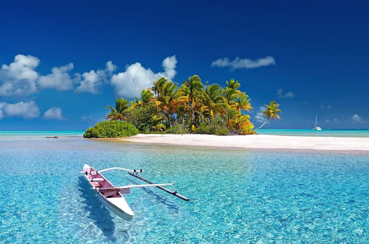
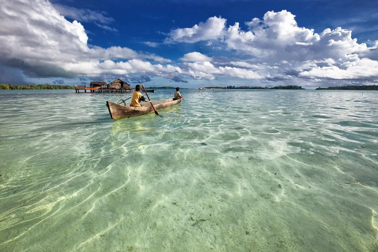
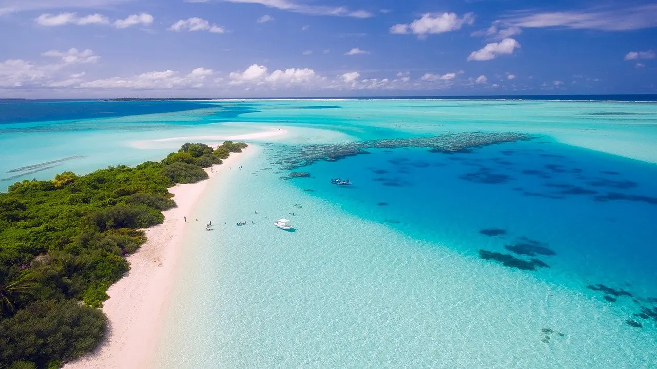
For visitors, this is the province that fits snorkelling and diving trips best. Calm lagoon water and sheltered channels reward time on the water more than time on roads.
Choiseul, Isabel and Makira-Ulawa
These three provinces hold three of the six main islands: Choiseul, Santa Isabel and Makira. The State Department says the main islands have rainforested mountain ranges. Choiseul’s highest peak is Mount Maetambe at 1,150 m (3,773 ft), well below Guadalcanal’s summit.
They suit travellers who want a large island without the capital’s presence. Their limitation is information: the available reference material gives terrain and island names but little visitor detail, so build trips on these islands around a local contact or operator rather than a fixed itinerary.
Central Province and the outer provinces
Central Province mainly comprises the Florida and Russell Islands, both volcanic in origin, according to WorldAtlas. Rennell and Bellona and Temotu complete the nine provinces. They are not among the six main islands, so treat them as add-on destinations once the larger islands are settled.
Which islands divers choose
Solomon Islands in Focus describes the country’s clear waters as a snorkelling and diving paradise, with wartime wrecks among the attractions. Three areas stand out from the supplied references.
- Guadalcanal and Savo Island waters. These suit divers drawn to the 1942 naval history around Honiara.
- Western Province. This suits snorkellers and divers who prefer sheltered channels and lagoons.
- Marovo Lagoon. WorldAtlas calls it one of the largest double barrier-reef enclosed lagoons in the world, which makes it a reason to plan time in the lagoon country.
Choosing a base: a short checklist
- Decide the purpose first. Wartime history points to Guadalcanal. Lagoon snorkelling or diving points to Western Province.
- Check the season. Timing is covered in the guide to the best time to visit solomon islands.
- Start with one island. The chain is long, so one well-planned island beats a rushed sweep across several.
- Add outer islands last. Choiseul, Isabel, Makira and the outer provinces fit once the first base is settled.
Frequently asked questions
How many of the islands are inhabited?
Solomon Islands in Focus says around 350 of the country’s over 992 islands are inhabited.
How many people live in the Solomon Islands?
The State Department gives a population of 539,000 in 2010, with annual growth of 2.3%.
Which towns matter besides Honiara?
The State Department lists Gizo, Auki and Kirakira as the other principal towns.
Is the water suitable for diving year-round?
Solomon Islands in Focus describes the clear waters as perfect all year round for snorkelling and diving. Weather and seasonal conditions still affect trip planning.